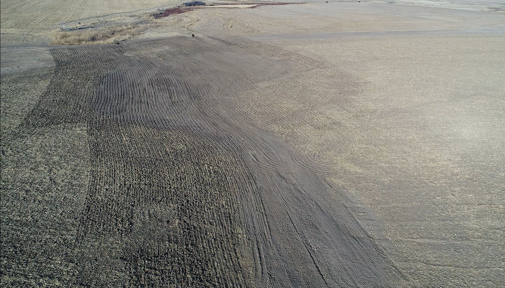
Do you have areas of your fields where water sits for long periods of time after a rain event? Are there areas that drain slowly, or maybe runoff too quickly causing erosion? These areas typically lead to less production, or no production in certain years. There are some innovative ways to eliminate or minimize these drainage issues. At Crop Quest, we have the tools to create sub-inch elevation maps of your fields. We can then run that information into a specialized program that creates an elevation percent change map.
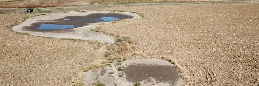
Drainage after
This map shows precisely how the least amount of dirt can be moved to efficiently alter the elevation in areas of the field to help move water off a field or eliminate ponding of water in low places. This information is then loaded into a controller that connects with dirt moving equipment set up with the capability to automatically adjust itself – using GPS – which in turn, subtracts or adds dirt in areas to improve the drainage pattern in the field.
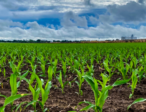
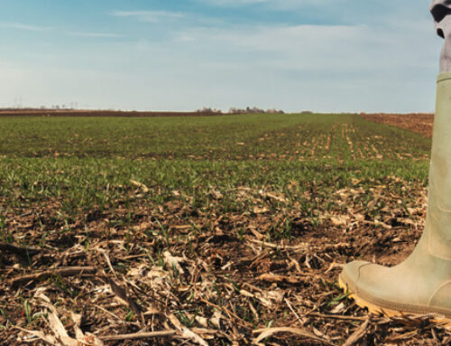
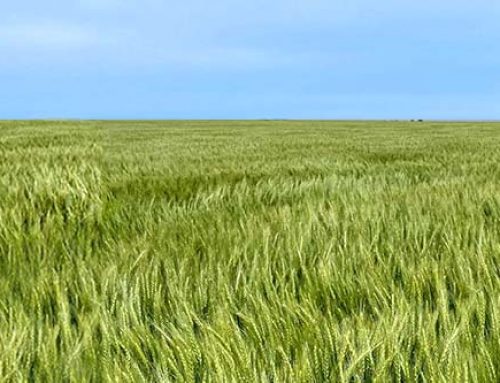
The changes are meant to be subtle to minimize disruption of the topsoil to as little of the field as possible. We have shown some outstanding results utilizing this technology. Non-productive areas are now producing consistent crops year after year. Erosion has decreased in many of these areas, there is less compaction and terraces are being built more efficiently. The image above shows what a field looked like prior to solving its drainage issue, whereas the image to the left is what it looks like now.
We are here to help you with your drainage issues!
If you want to learn more about solving drainage issues, contact our Crop Quest Precision Ag Team or call 620-225-2233.