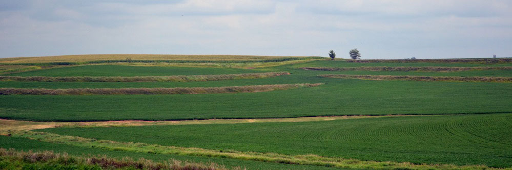
Being from Missouri, interning with Crop Quest in Southwest Kansas was a huge change and learning experience for me, as the agriculture industry is completely different here from what I am used to! There was one thing I was all too familiar with though; water management. During my time with the Precision Ag Team, I was sent all around the state and seemed to notice standing water, gullies and silted terraces everywhere I went.
The first step to effectively managing the movement of water in and on the soil is to understand the relationship between soil and water. Water management includes drainage, terraces, field leveling and controlling the volume and frequency of irrigation. Too much water can contribute to suffocating the plant roots and lead to nutrient leaching, while too little water can create plant stress. With these factors in play, it is important to properly manage fields and water.
Today it is possible to, by using the latest technology in topographic survey data, create a virtual three-dimension surface of fields. This design is generated from a computer software program and can be analyzed and adjusted for the best options regarding placement of drainage, terraces, and even in some cases field leveling. The result is a new three-dimensional rendering of the recommended changes in topography that can be made to your field! Crop Quest, in cooperation with Modern Ag’s water management service, can design a solution to fix ponding, gullies, silted terraces, etc. in just a matter of days, compared to months of work using traditional means.
Determining the volume and frequency of applying irrigation water is the second part to effectively managing water. Soil texture, elevation and slope can all play a role in the rate of infiltration of your soil. Implementing variable rate irrigation (VRI) is a way to manage the infiltration variability in your fields. An evaluation is first completed on the layers of data available to determine which one will reduce the most variability across a field. With a VRI system it is possible to enhance your water use while at the same time optimizing pumping costs. This turnkey solution leverages data collected from a topographic survey as well as EC/EM and crop health imagery. Options include VRI by speed, zone and nozzle. It’s even possible to control VRI recommendations using a system that can be monitored on your smart phone or tablet!
Talk with your Crop Quest Agronomist about how you can best take advantage of your water!
Featured Image by: Jo Naylor, terraces, flickr.com
Written by: Ross Dudley, Precision Ag Division, Kansas State University
